DRONE PROPERTY SURVEY
Uplift Your Property Surveying Experience with Cutting-Edge Drone Technology
Welcome to Map Drone Solutions, where we blend innovation with efficiency for property surveying. We specialize in using advanced drone technology for accurate and efficient property surveys, including drone roof surveys, and drone land surveying. Our commitment to innovation ensures that you receive the most reliable solutions for your property assessment needs. We continually invest in the latest drone technology to stay at the forefront of the industry.
Understanding Drone Property Survey
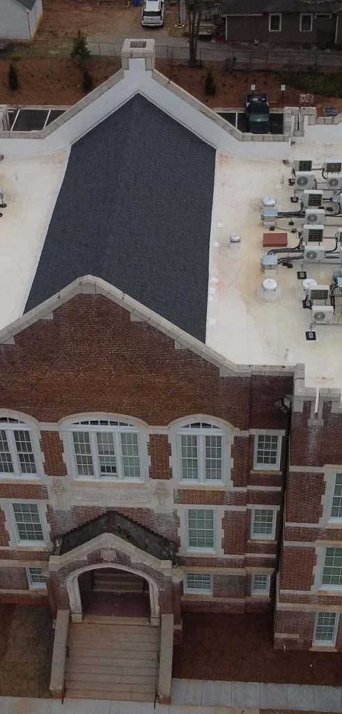
A Drone Property Survey uses a drone to snap photos and record videos of a site or structure. It provides precise and thorough details about the property without needing to walk around it physically. The drone collects overhead shots that let us see the whole area and evaluate it for construction, care, or other property needs.
Benefits of Drone Property Surveys
Swift Surveys, Swift Results:
Drones speed up the survey process. Traditional methods might take weeks, but our drones get the job done quickly, saving you time and hassle.
Cost-Effective Solutions:
Traditional surveys can be expensive. Drones offer a more budget-friendly alternative without compromising on the quality and detail of the survey.
Detailed Insights, Not Just Data:
Our drones provide more than just information – they offer comprehensive insights. Understand your property or project site with detailed data, empowering you to make informed decisions.
No More Risky Roof Ventures:
Drone roof surveys eliminate the need for risky climbs or the use of expensive equipment. Get a detailed view of your roof without putting anyone in harm’s way.
Precision Beyond Measure:
Drones offer unparalleled accuracy. From property boundaries to intricate details, our surveys leave no room for guesswork, ensuring precision in every aspect.
Faster Problem Identification:
Drones can quickly identify issues. Whether it’s a roof problem or a land issue, our technology ensures rapid problem detection, allowing for timely solutions.
Our Services
Why Choose Map Drone Solutions?
Super Accuracy
Our drones are like surveying wizards, finding details that regular methods can’t. Whether its property lines or roof secrets, we nail it with pinpoint accuracy.
Time-Saver
Skip the waiting game with our speedy drone surveys. While traditional surveys take forever, our drones grab all the info in no time, helping your project move at lightning speed.
Save Money
Picking our drone surveys isn’t just brilliant; it’s wallet-friendly, too. Less need for people and gear means spending less on surveys, giving your budget a breather.
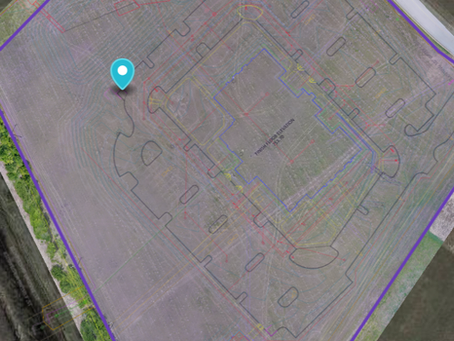
Get a detailed report of your property with our photogrammetry services. No matter the size or type of property, we provide 2D and 3D maps, measurements of lot and structures, and asset management solutions.
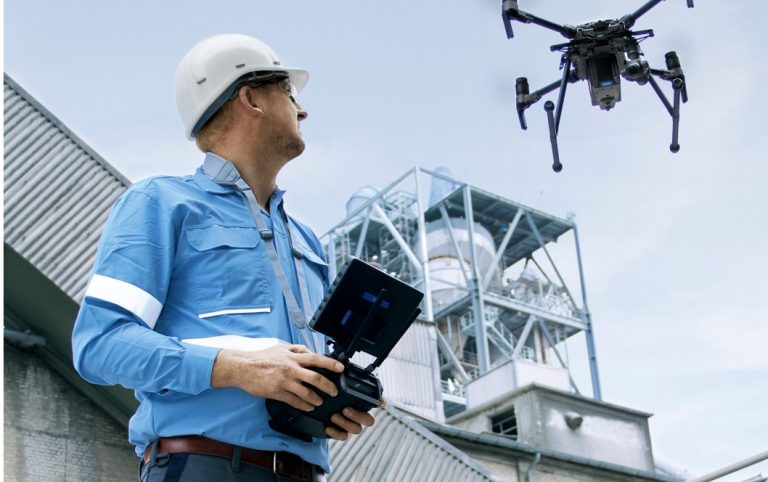
Save time and equipment with our comprehensive inspection services. From roof and tower inspections to solar panel assessments, our services cover everything from structural integrity to vegetation encroachment.
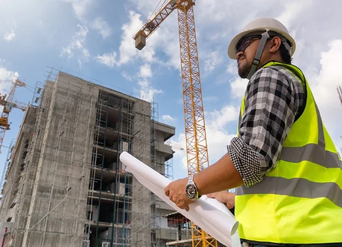
Enhance project efficiency and safety with our construction drone services. From site surveys to progress monitoring, we provide actionable insights to streamline construction workflows and mitigate risks.
Experience efficient property surveys with cutting-edge drone technology. From roof surveys to land assessments, our drones provide swift, cost-effective, and detailed insights without risking safety or accuracy
Revolutionize inspections with drone technology. Benefit from efficient, accurate, and cost-effective inspections for roofs and other structures. Our services prioritize safety, innovation, and thorough data analysis for actionable insights
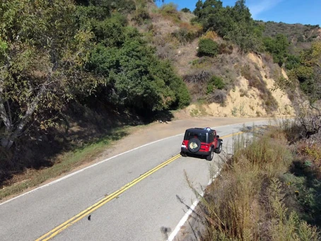
Capture stunning aerial shots for marketing, music videos, or feature films with our aerial cinematography services. We ensure your project gets the best possible shot for maximum impact and visual appeal.

