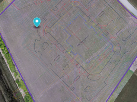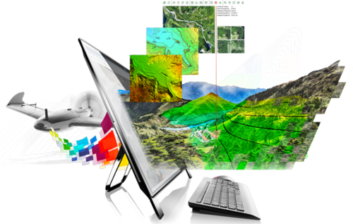
Get a detailed report of your property with our photogrammetry services. No matter the size or type of property, we provide 2D and 3D maps, measurements of lot and structures, and asset management solutions.

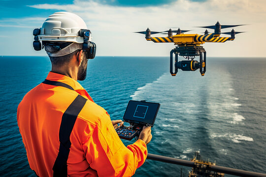
Save time and equipment with our comprehensive inspection services. From roof and tower inspections to solar panel assessments, our services cover everything from structural integrity to vegetation encroachment.
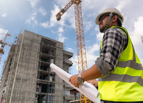
Enhance project efficiency and safety with our construction drone services. From site surveys to progress monitoring, we provide actionable insights to streamline construction workflows and mitigate risks.
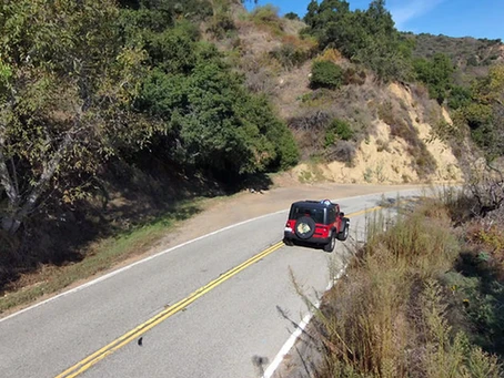
Experience efficient property surveys with cutting-edge drone technology. From roof surveys to land assessments, our drones provide swift, cost-effective, and detailed insights without risking safety or accuracy
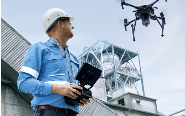
Revolutionize inspections with drone technology. Benefit from efficient, accurate, and cost-effective inspections for roofs and other structures. Our services prioritize safety, innovation, and thorough data analysis for actionable insights

Capture stunning aerial shots for marketing, music videos, or feature films with our aerial cinematography services. We ensure your project gets the best possible shot for maximum impact and visual appeal.