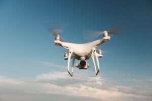
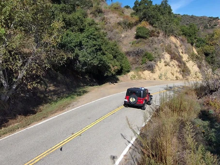
In the quickly changing real estate market of today, accuracy and productivity are critical. An essential component of real estate operations, property evaluation has historically been done by hand using labor-intensive, expensive, and occasionally imprecise procedures. However, the situation has changed dramatically since drone technology became available. A state-of-the-art method that transforms how we evaluate properties is provided by drone property surveys, which deliver previously unheard-of information quickly and precisely. It is simple to survey the property and determine the results with the aid of drones. Drones may traverse a range of surfaces and altitudes, providing them with an extensive perspective of the property and its environs. It will help you in making the right decision.
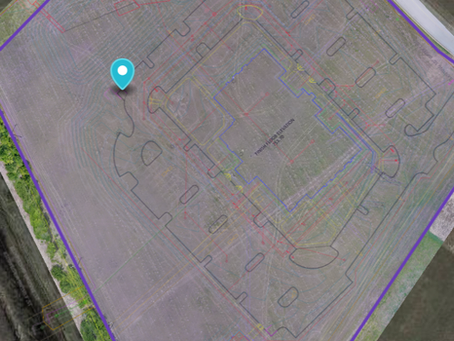
If you are looking for a drone property survey, you can count on Map Drone Solutions. It is a place where we combine efficiency and innovation in property surveying. Drone land surveying and drone roof surveys are two of our specialties; we also use cutting-edge drone technology for precise and effective property surveys. You will always get the most dependable solutions for your property. To be at the forefront of the business, we continuously make investments in the newest drone technology. When doing a drone property survey, a site or structure is photographed and videotaped. Using the aerial photographs that the drone takes, we may assess the entire region for potential building sites, maintenance projects, or other property requirements.

Advantages Of Opting for A Professional For Drone Property Survey
Expertise: Drone surveys are a qualified and experienced field for professionals. Their comprehension of the complexities involved in drone operation, data collection, and analysis guarantees precise outcomes. You will get every detail that is needed.
Legal Compliance: Experts are knowledgeable about local laws regarding the use of drones and property surveys. They ensure that the survey is carried out legally, preventing any possible fines or legal problems.
Quality Data: To obtain accurate and complete data, experts use top-notch drones and gear. As a result, the characteristic is measured and evaluated with more accuracy, yielding insightful information for making decisions.
Efficient surveying: Compared to do-it-yourself methods, professional surveying saves time and money. Large areas may be covered swiftly, and thorough reports can be produced quickly. That will result in the right decision-making.
Conclusion
With its unmatched benefits in terms of accuracy, speed, and security, drone land surveying is changing the land surveying sector. Future predictions indicate that drone surveying will become more common as more sectors use this cutting-edge technology that supports resource management and environmental sustainability. Just go for Map Drone Solutions to add some excitement to your land survey routine. Our unmanned aerial vehicles swiftly capture valuable aerial imagery and provide crucial data for your land-based undertakings. Our clear-cut method of land surveying can help you save both time and money. For any query, you can contact us.


