Surveying has long been an integral part of construction, land development, and environmental studies. In the past, surveyors would spend hours walking over rough topography and ascending tall structures just to access proper data. Although these worked, they were very apparent safety issues and time-inefficient.
Drone mapping and drone inspection nowadays provide a revolutionary solution. Surveys can now gather data in the air fast, safe, and precise, all thanks to drones. The more the technology is embraced, particularly on applications like drone inspections and mapping in Georgia, its safety component is now more apparent.
In accordance with a report by the American Society of Civil Engineers, drone surveying has lowered on-site accidents by as much as 55%, listing the importance of employing drones in workplace safety. We detail in this blog how the use of drones is changing the surveying world, increasing safety, and providing improved results.
- Minimizing Exposure of Humans to Hazardous Terrain
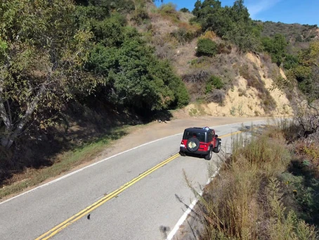
Surveying sometimes requires working in risky terrain, from steep slopes and dense forests to areas of construction sites. Earlier, it exposed professionals to the risk of slips and falls or other types of damage.
Drone surveying and mapping enable staff to evaluate these sites from a safe distance. A drone will be able to fly over a large site and take high-definition air shots, and staff will not have to enter dangerous sites themselves. This is not only safer for staff but also convenient by saving setup and travel time.
- Improving Safety of Structural Inspections
Building inspection of bridges, towers, and roofs is an important safety concern. Ladder, scaffolding, and crane work pose several hazards.
Drone equipment can be fitted with high-definition cameras and sensors capable of aerial inspections, high-resolution photos, and video of buildings at low risk. This enables inspectors to find cracks, corrosion, or any other problem without ever visiting the location. For Georgia firms providing drone inspection and mapping services, this is an ordinary practice to enhance job site safety and minimize liability.
- Speedier Response in Emergency Situations
Rapid assessment must be conducted following accidents or natural disasters to determine site conditions and guide emergency response. Placing people into compromised or dangerous positions will squander response time and lose lives.
Drones can rapidly be used to record damage and create real-time maps. Decision-makers can respond faster and more safely because of this timely data. Drone maps of flooded areas, for example, might indicate water levels, impassable roads, or destroyed property, allowing crew members to remain safe and make smart recovery strategies.
- Safe Data Collection Without Physical Risks
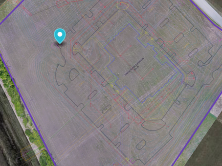
One of the most significant advantages of drone mapping and surveying in Georgia and throughout the globe is the ability to gather high-resolution and precise data from above. This eliminates physical beacons, frequent site visits, and complicated measuring tools that are mostly required for hands-on handling.
Sophisticated drone software can convert images into 3D models, contour maps, or volumetric measurements. Such accuracy eliminates guesswork from field assessments while maintaining crews’ safety and productivity.
- Minimizing the Need for Large Field Crews
Typically, surveying applications entail several individuals in the field operating equipment, collecting data, and ensuring safety. With drones, much of it can be accomplished by a single operator and an off-site team.
This on-site reduction in personnel reduces exposure to possible hazards, reduces vehicle traffic, and reduces the risk of accidents. It also reduces costs and workflow complexity on large projects.
- Facilitating Regulatory Compliance and Reporting
Numerous industries are required to meet stringent health, safety, and environmental regulations. Drones provide a certain way of recording site conditions, monitoring progress, and generating reports of compliance with minimal disruption.
Having date-stamped aerial photos and maps at hand can be the determinant of success and failure in audits and inspections. It prevents fines, delays, and safety infractions. It’s a smart investment in any survey project.
Final Thoughts: Drones as a Safety Standard in Surveying
The use of drone technology in surveying isn’t new; it’s a continuous move toward safer, more efficient workplaces. With reduced exposure to humans, faster response times, and improved data, drone mapping and surveying in Georgia are leading the industry toward a safer future.
From urban development to construction to environmental work, drone mapping is building a smarter and safer future.
At Map Drone Solutions, we’re experts in drone inspection services that are dedicated to safety, accuracy, and efficiency. Our personnel offer aerial mapping, thermal imaging, 3D modeling, and more, all crafted to help you work smarter and safer.
To learn how our solutions can benefit you, visit mapdronesolutions.com!


