commercial services
Avail Drone Construction Mapping for Your Commercial Projects
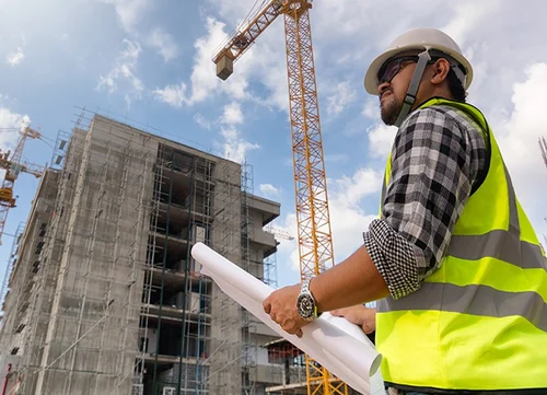
At MAP Drone Solutions, we transform commercial construction projects into masterpieces of precision and beauty. Welcome to a world where dreams soar and visions take flight. With us, you can now discover every little nuance of your commercial construction services project with the utmost clarity and comfort.

Aerial Elegance
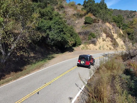
Imagine our drones gliding above your site – recording every little detail like a painter’s brush. Our aerial vantage reveals the intricate patterns and hidden potentials of your project. They offer a perspective that turns complexity into the highest clarity.
Precision in Every Pixel
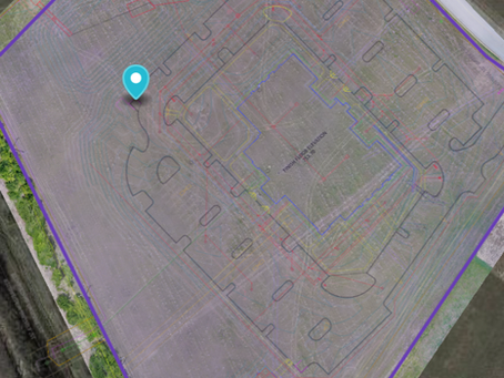
Our drones for commercial contractors’ service are equipped with cutting-edge mapping technology. They capture high-resolution images that will bring every corner of your site into sharp focus. The number one thing that we promise is the clarity of pixels. Each pixel captured by our drones will help you in meticulous planning and zero number of errors.
Data Transformed into Insight
We gather more than just images! We collect the essence of your project. Our advanced data analysis tools transform raw data into actionable insights. From terrain analysis and volumetric measurements to progress tracking, our data is the ideal blueprint for your success.
Seamless Integration
Our services blend effortlessly into your daily workflow. From initial site surveys to final inspections, our drones deliver accurate topographical maps, 3D models, and real-time updates. Whether it’s a new construction or commercial remodeling contractor service, these drones ensure that your project always stays on track.

Key Features
- High-Resolution Imagery: Capture every detail with stunning clarity.
- 3D Modeling: Visualize your site in comprehensive detail.
- Volumetric Measurements: Plan with precision for commercial framing contractors or other services.
- Progress Tracking: Monitor milestones with ease.
- Terrain Analysis: Understand the landscape intimately.
- Real-Time Updates: Stay informed with up-to-the-minute data.
Benefits That Elevate
- Cost Savings: Minimize errors and reduce rework.
- Enhanced Safety: Conduct surveys without risking personnel.
- Improved Efficiency: Accelerate project timelines.
- Informed Decisions: Access detailed insights for better planning.
Join the Skyward Journey
With every new technology, the construction landscape is evolving. MAP Drone Solutions is leading the way for drone construction mapping. With us, you will experience the fusion of technology and artistry that will give newer definitions to your commercial construction services. Contact us now and let us elevate your vision with heights, never achieved before.


