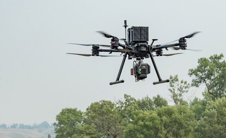
Drone Mapping Solutions
Drone Mapping Solutions
Discover the future of mapping with Map Drone Solutions. Our advanced drone mapping technology offers unparalleled precision and efficiency. With high-resolution aerial imagery and accurate data collection, we provide detailed maps that no traditional method can match.
Now, unlock the full potential of your projects with our cutting-edge drone mapping solutions.

Benefits of Drone-Based Mapping Solutions
You must be wondering why you should choose drone-based mapping? Drones capture high-quality and detailed images with both speed and safety. They reduce the time and cost associated with traditional mapping methods. With drone construction mapping, there’s now no need for extensive ground surveys. Now there will no disruption or security risk while mapping a property. Our drone mapping solutions provide real-time data. They enable faster decision-making and improve your project’s outcomes. Experience the efficiency and accuracy of drone-based mapping with Map Drone Solutions.
Key Features of Our Drone Mapping Technology
Map Drone Solutions leverages state-of-the-art technology to deliver innovative drone solutions. Our drones are equipped with high-resolution cameras and advanced sensors which helps them to capture accurate and detailed data.
We also use sophisticated software for data processing and analysis. Our technology allows for 3D modeling and topographic mapping. You can now get the most comprehensive insights into your project site.
Now, plan and execute better with our high-quality drone construction mapping.
Applications of Drone Mapping Across Industries
Drone mapping isn’t just for one sector. Rather, it’s a versatile tool that can be used across various industries. In construction, our mapping solutions will help you with site planning, monitoring progress, and ensuring safety compliance.
For agriculture, our drone mapping solutions offer precision farming insights – from crop health monitoring to soil analysis. While, environmental agencies can also use our services for habitat mapping, wildlife monitoring, and disaster assessment.
Whatever your industry, Map Drone Solutions provides the most innovative drone solutions so to meet all of your needs.
Contact Us for Custom Drone Mapping Solutions
Are you ready to elevate your projects with advanced drone mapping solutions? Contact Map Drone Solutions today for custom mapping solutions tailored to your needs. Our team of experts is dedicated to providing top-quality service and accurate results. Whether you need detailed site maps, 3D models, or real-time data, we have the expertise and technology to deliver.
Contact us now to discuss your project and see how our drone mapping solutions can transform your operations.
