
How Drone Mapping and Surveying Works?
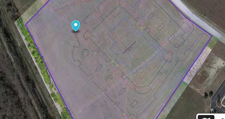
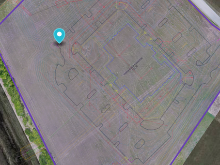
The heavy civil and earthworks sectors now analyze their worksites using drone mapping and surveying. Without compromising precision, unmanned aerial vehicles […]

The heavy civil and earthworks sectors now analyze their worksites using drone mapping and surveying. Without compromising precision, unmanned aerial vehicles […]
Land surveying has played a crucial role throughout history with the primary purpose of accurately measuring, mapping, and defining the
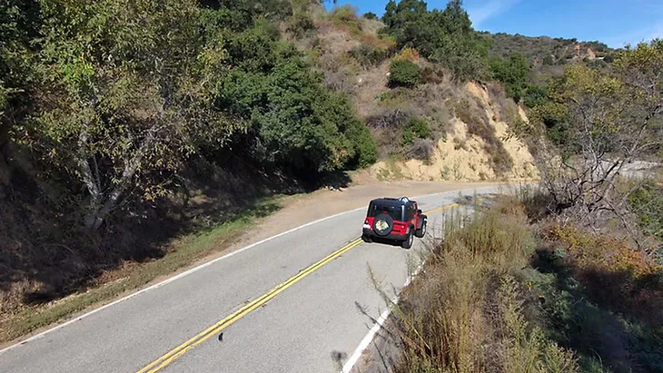
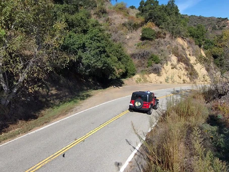
Practices Building things today is changing fast. One change? Drones. Drones shift how we build. Before, mapping and checking were
Flying High: The Impact of Drones on Modern Construction Practices
Revolutionizing Land Surveying: The Power of Drone Mapping and Surveying